
Piscators Guide · Fishing Conditions
How to Read Fishing Weather & Conditions
Read the hazards first, then the fishing conditions. A useful forecast tells you whether to go, where the boat can operate safely, and only then how fish might respond.
The short answer
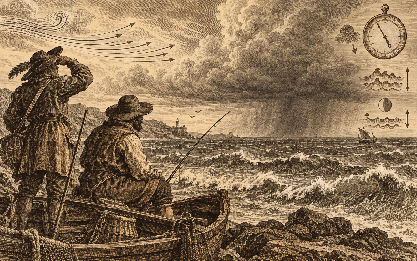
Use the official marine forecast and warnings as the foundation. Compare wind direction, sustained wind, gusts, waves, storm timing, tides, and currents for the exact water you will fish. Apps and model visualizers add context; they do not overrule official warnings or conditions you can see developing.
Read in this order
Safety before fishing theory
A pressure trend or tide stage is irrelevant if thunderstorms, hazardous wind, waves, visibility, or rapidly changing conditions make the trip unsafe.
Warnings
Check marine warnings, watches, advisories, and the broader weather situation.
Wind
Read sustained speed, gusts, direction, timing, and exposure along the route.
Waves
Consider height, period, direction, swell, wind waves, and opposing current.
Storms
Track radar trends and thunderstorm timing. Every thunderstorm produces lightning.
Fishing detail
Only then consider tide, current, temperature, light, pressure, and presentation.
Understand the variables
What the numbers mean on the water
Conditions interact. The same wind speed can feel very different depending on direction, fetch, tide, current, shoreline, boat, and operator.
Wind direction, speed, and gusts
Direction controls exposure. An offshore wind may flatten water near one shoreline while building dangerous conditions farther out or making a return difficult for a paddle craft.
Plan for gusts and the forecast trend—not merely the lowest sustained number shown.
Wave height, period, and direction
Height alone is incomplete. Closely spaced waves can be steep and uncomfortable, while longer-period swell carries different energy. Wind opposing tide or current can shorten and steepen seas.
Marine forecasts may distinguish swell, wind waves, direction, and period.
Thunderstorms and lightning
Radar is a trend, not a shield. Cells can develop quickly, and all thunderstorms produce lightning. Build an escape plan and turnaround point before launching.
Do not depend on a lightning-specific warning; the National Weather Service notes that such a dedicated warning may not exist.
Tides and currents
Tide is water level; current is water movement. Their timing does not always match, and the nearest station may not represent a remote creek, pass, or shoreline exactly.
Compare the correct station, datum, time zone, predicted level, and current direction.
Fronts and barometric pressure
Pressure is context, not a universal bite switch. Rising or falling pressure often accompanies changing weather, wind, clouds, temperature, and light.
Record the complete pattern rather than attributing success or failure to one number.
Water temperature and light
Local measurements beat broad averages. Season, depth, cloud cover, rainfall, current, and time of day can produce meaningful variation.
Use temperature and light to refine location and presentation after the safety decision is settled.
Use a repeatable check
A three-stage weather workflow
Forecast confidence usually improves as the trip approaches, but rapidly changing weather requires continued observation.
The day before
Decide whether the plan is reasonable
- Read the zone forecast and current advisories.
- Review wind, waves, fronts, storms, tides, and currents.
- Choose protected alternatives and cancellation points.
Before launching
Confirm what changed
- Recheck warnings, radar, observations, and updated forecast timing.
- Compare actual wind and water levels with predictions.
- Tell someone the route and expected return.
While fishing
Watch the real world
- Monitor marine radio, sky, wind shifts, temperature changes, and visibility.
- Keep fuel or battery reserve for worsening conditions.
- Leave early; do not wait for certainty.
Build a trustworthy source stack
Official forecast first, visual tools second
Different tools answer different questions. Keep the source and the forecast model distinct in your mind.
NWS marine forecasts and warnings
Use the official coastal or Great Lakes forecast zone, point forecast, and current watches, warnings, and advisories for the operating area.
Open NWS Marine Weather →NOAA tides, currents, and observations
Use the appropriate station for tide and current predictions plus available real-time water level, wind, temperature, pressure, and other observations.
Open NOAA Tides & Currents →Radar and direct observation
Radar helps show movement and development, but visual conditions, thunder, gust fronts, and rapidly building clouds demand immediate attention.
Open NWS Radar →Windy and other model visualizers
Visualizers are useful for comparing forecast models, timing, and spatial patterns. A compelling map is still a model presentation—not a guarantee or an official warning source.
Explore Windy →There is no universal “safe wind speed.”
Boat design, load, experience, water temperature, distance from shelter, wind direction, current, fetch, visibility, and wave shape all matter. Personal limits should become more conservative—not less—as uncertainty, exposure, or consequences increase.
Equipment path
Gear that makes weather information more useful
These product categories can improve awareness or communication, but none makes unsafe conditions safe. Specific Piscators Picks will require separate product-level research.
Waterproof marine VHF radio
Provides marine communication and access to weather channels and alerts. The Coast Guard says its boating app is not a replacement for a marine VHF radio.
Browse VHF Radios →Weather instruments
Handheld or onboard instruments can show local wind, pressure, temperature, or humidity. Treat one-point measurements as observations, not complete forecasts.
Browse Instruments →Emergency signaling and flotation
Weather planning belongs inside a complete safety system that includes properly fitted PFDs, signaling equipment, communications, and location-appropriate emergency gear.
Browse Safety Gear →Safety and disclosure: Forecasts and predictions contain uncertainty, and local conditions can change rapidly. Follow official warnings and applicable regulations, use prudent seamanship, and make decisions appropriate to your vessel and experience. Retailer links may later become affiliate links, which can earn Piscators a commission without changing the reader’s price. Product links are not claims of firsthand Piscators testing unless specifically stated.